Hidden in the Fog (Spain's Northwest)
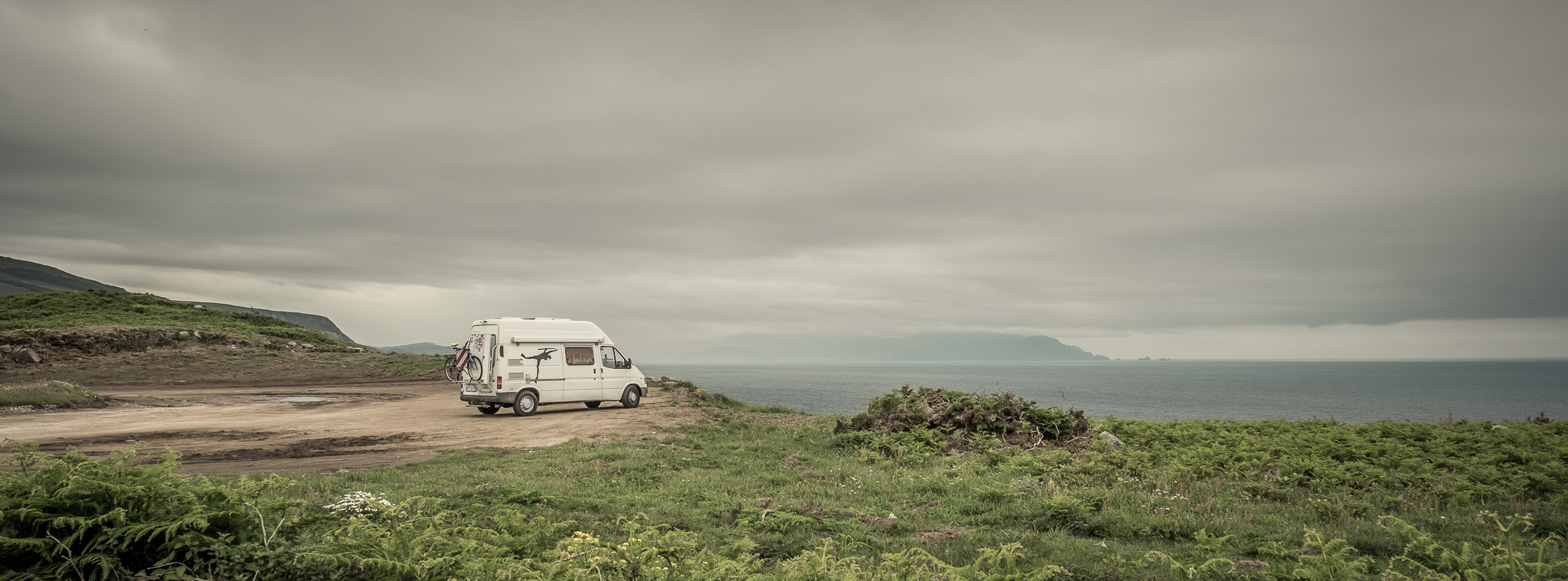
(2861 – 3797 km)
The route continues along the Spanish coast. The blue sea to the right and the green mountains to the left. Hardly any traffic.
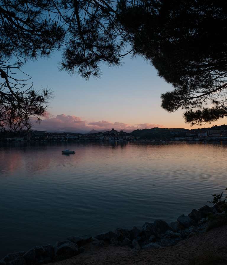
I stop in San Vicente de la Barquera for a few days. The campsite is right next to the Playa de Meron, which is a very nice spot for surfing. Unfortunately the waves are very small and it starts to drizzle again. After a short session of surfing, I settle in at the campsite for the next couple of days. It's still early in the season, so I have a choice of pitches right on the water's edge with views of the Picos de Europa mountain range. Sometimes the fog lifts and you can even see the mountain range.
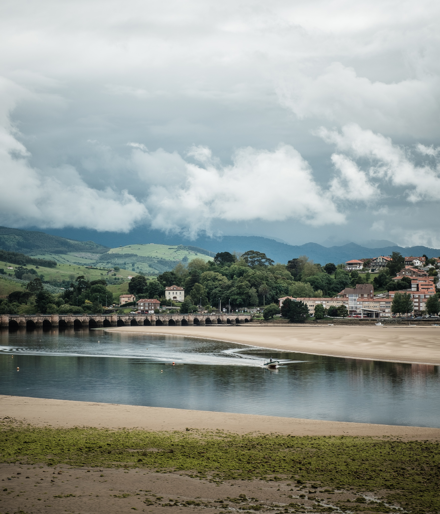
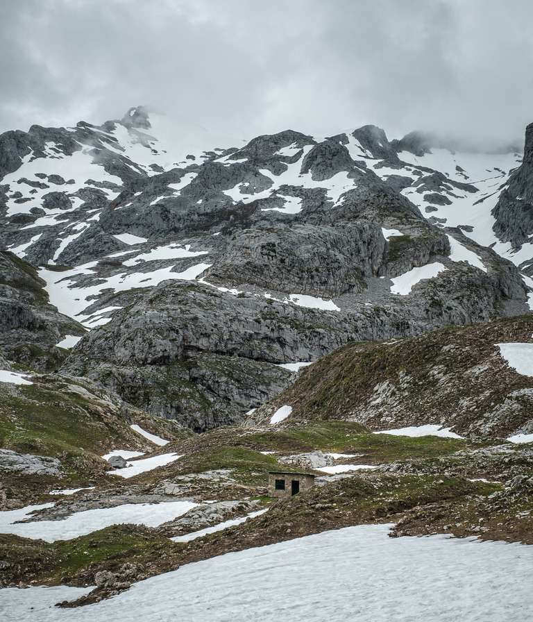
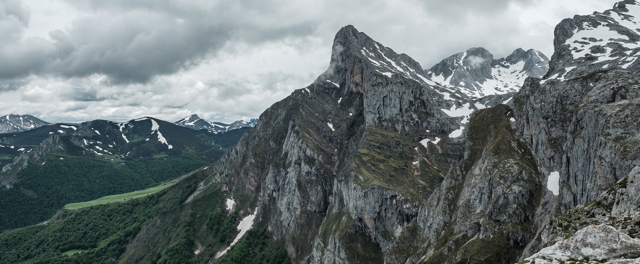
After four days, I head for the mountains to Fuente De. When there are no waves, I go hiking. The journey takes me through a narrow gorge for several kilometres, then up a couple of mountains and ends at the station of a cable car. The gondola takes me up another 753 metres to an altitude of 1823 metres in four minutes.

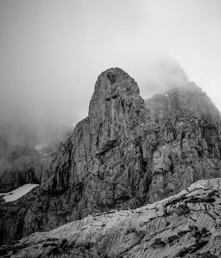
Up here I take a short hike along the peaks and over snowfields. It is unbelievably quiet and there is a huge panoramic view from up here. Slowly the clouds start to close in and it is time to make my way back down. By the time I reach the car park at the bottom, the mountain peaks have disappeared in the fog and I drive back towards the sea and set up camp on a car park on the beach. In one day, high mountains and back to the sea.
I continue my journey along the north coast and end up in Asturias, at the Playa de Frejulfe. Here, too, I am able to stay for a couple of days on a large car park right next to the beach. The waves are gentle and I can surf in the bay and enjoy the sunset at the beach bar.

After three days, the waves are over and the forecast for the west coast is looking a lot more promising. So I set off for Galicia. First I stock up on food in Navia, then I take a route that takes me to two of the few tourist attractions.
First, my car struggles up the cliffs to Cabo Estaca de Bares. This cape is the most northern point of Spain. I am welcomed by a heavy downpour. The view is clouded over for the time being and I can already see the next front coming up in the distance.
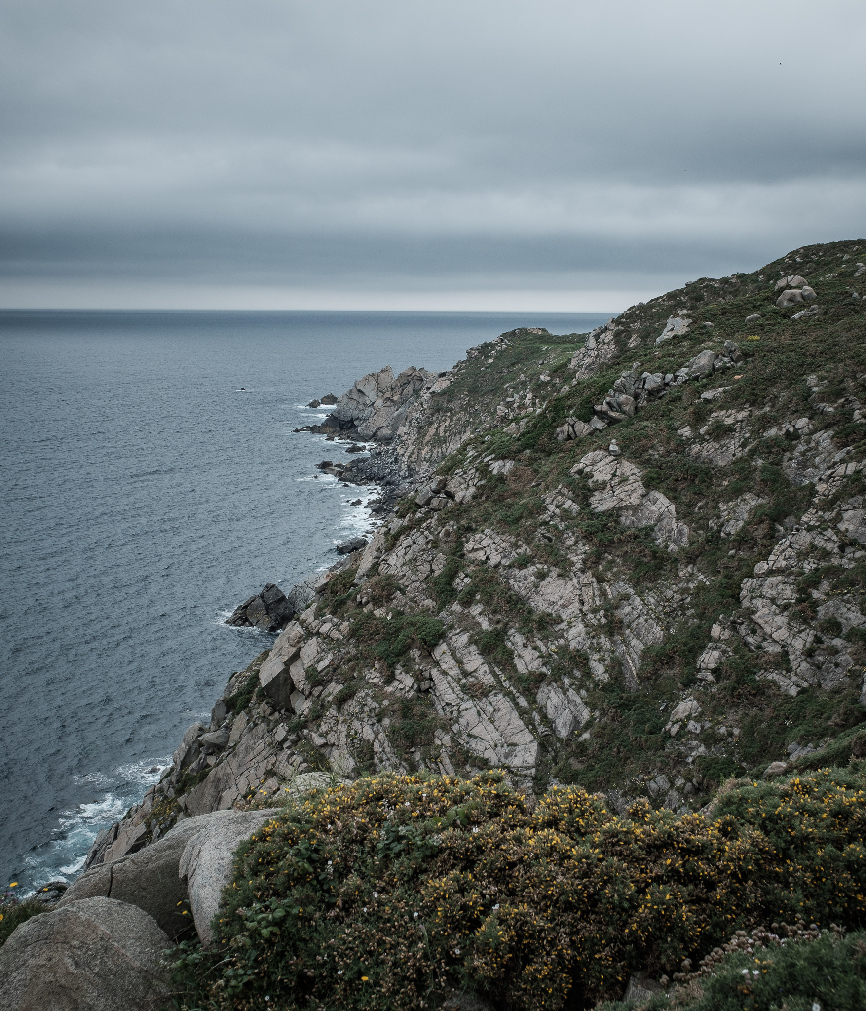
After the short visit to the top of the cliffs, I continue on to Cabo Ortegal. This point is located on top of one of the highest cliffs in Europe and it also marks the point where the Atlantic Ocean and the Bay of Biscay meet. I am all alone at the little lighthouse. The light was getting fainter and fainter. Suddenly a thick fog came up from the sea and slowly enveloped me. Before there was no visibility at all, I set off again.
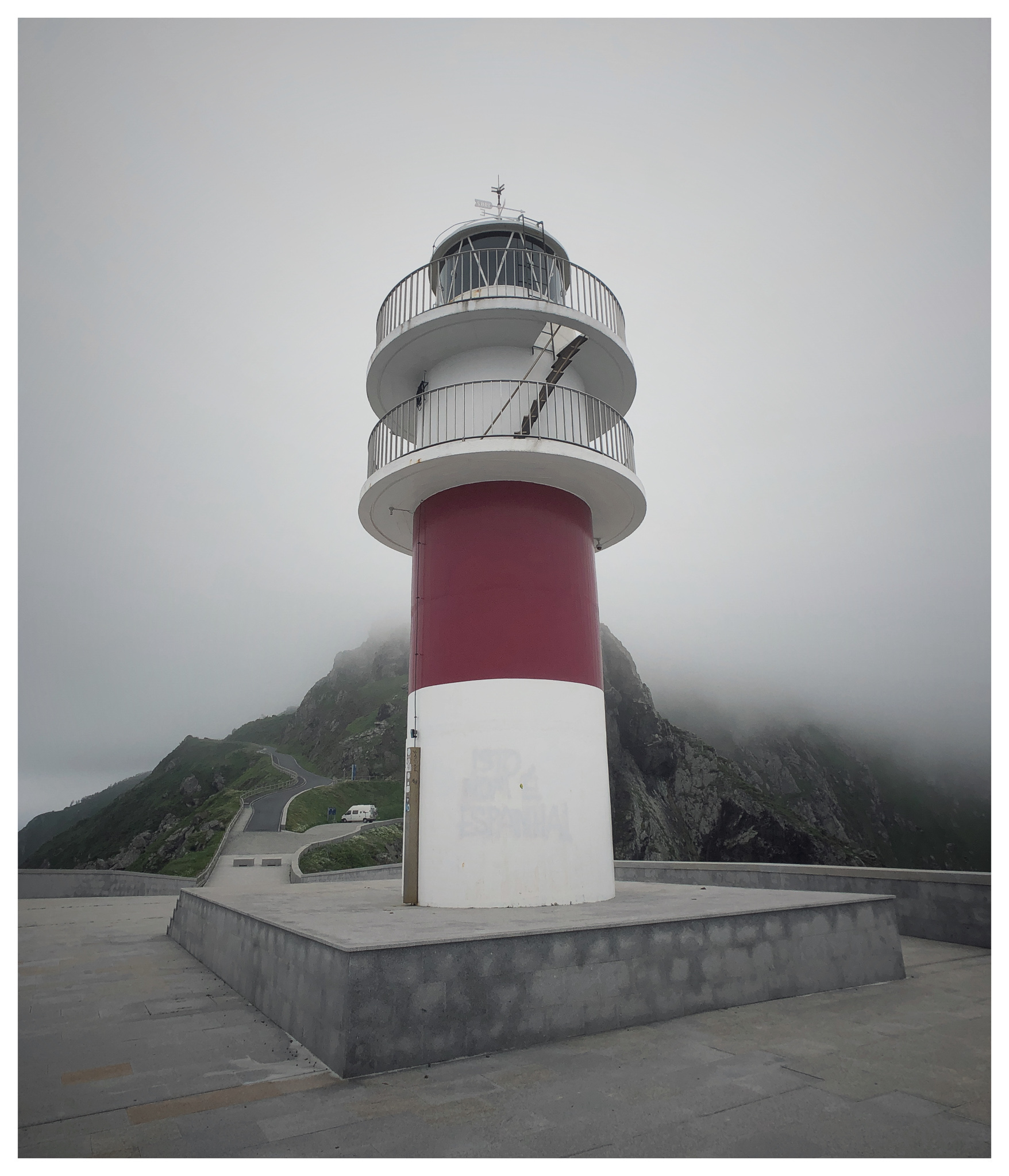
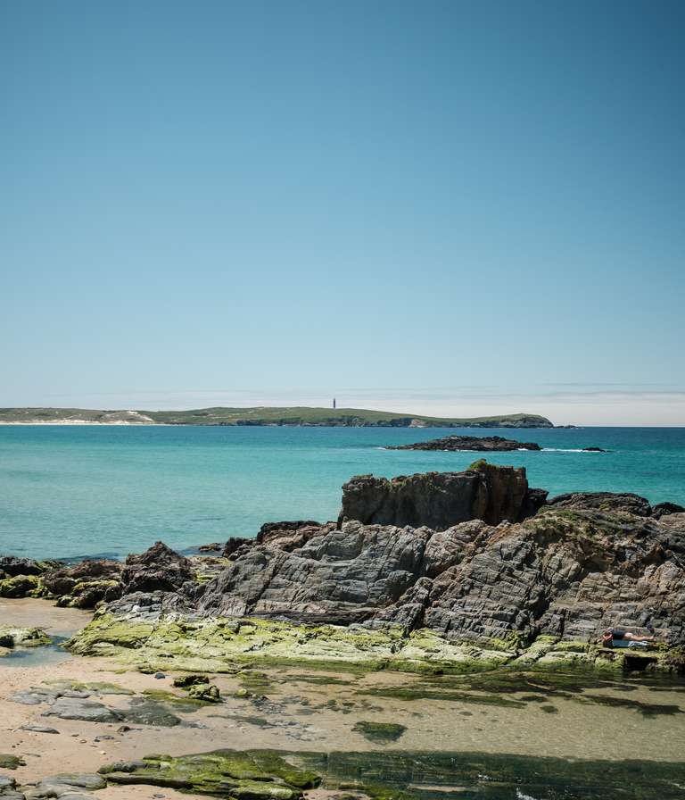
With the fog getting thicker and thicker, I decided to abandon the coast and head straight for the North West coast of Galicia. Visibility is now only 50-25 metres in the fog. It's started to drizzle and the roads run through forest, interrupted by deserted villages. I arrived in Valdovino in the evening and settled in at the campsite near the beach. Fortunately, the weather improved the next day. So much in advance - from now on, it will be summer on my journey.

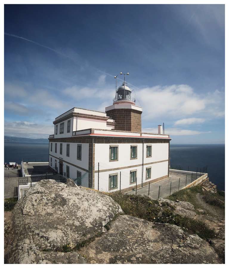
After four days and some surfing I head south. I stop at Cabo Fisterra. This is the end of the Camino de Santiago and the most westerly point in Spain.
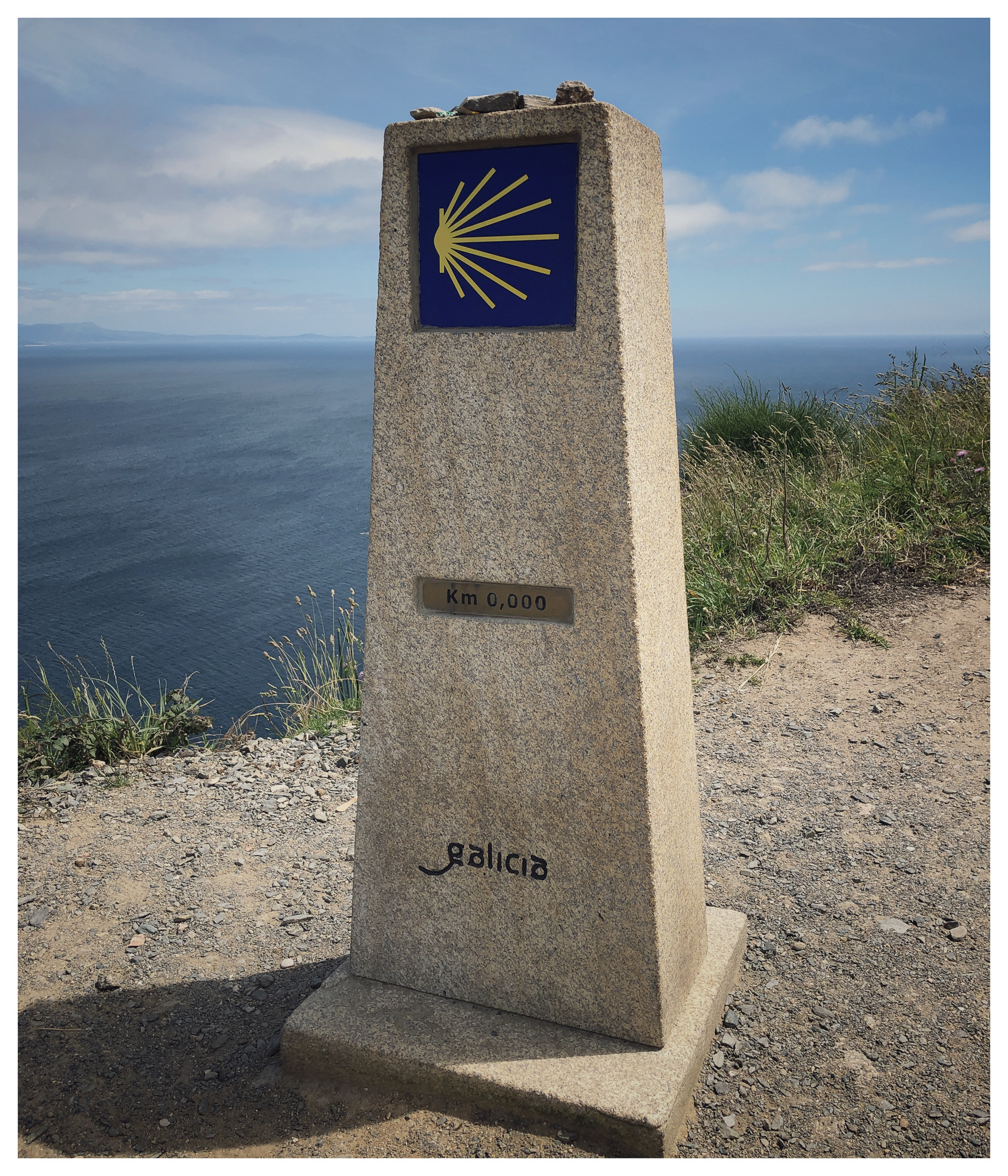
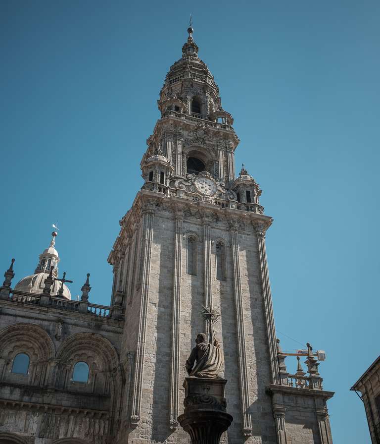
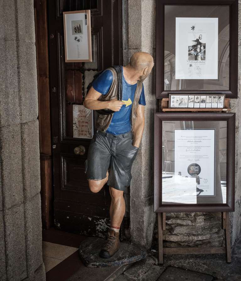
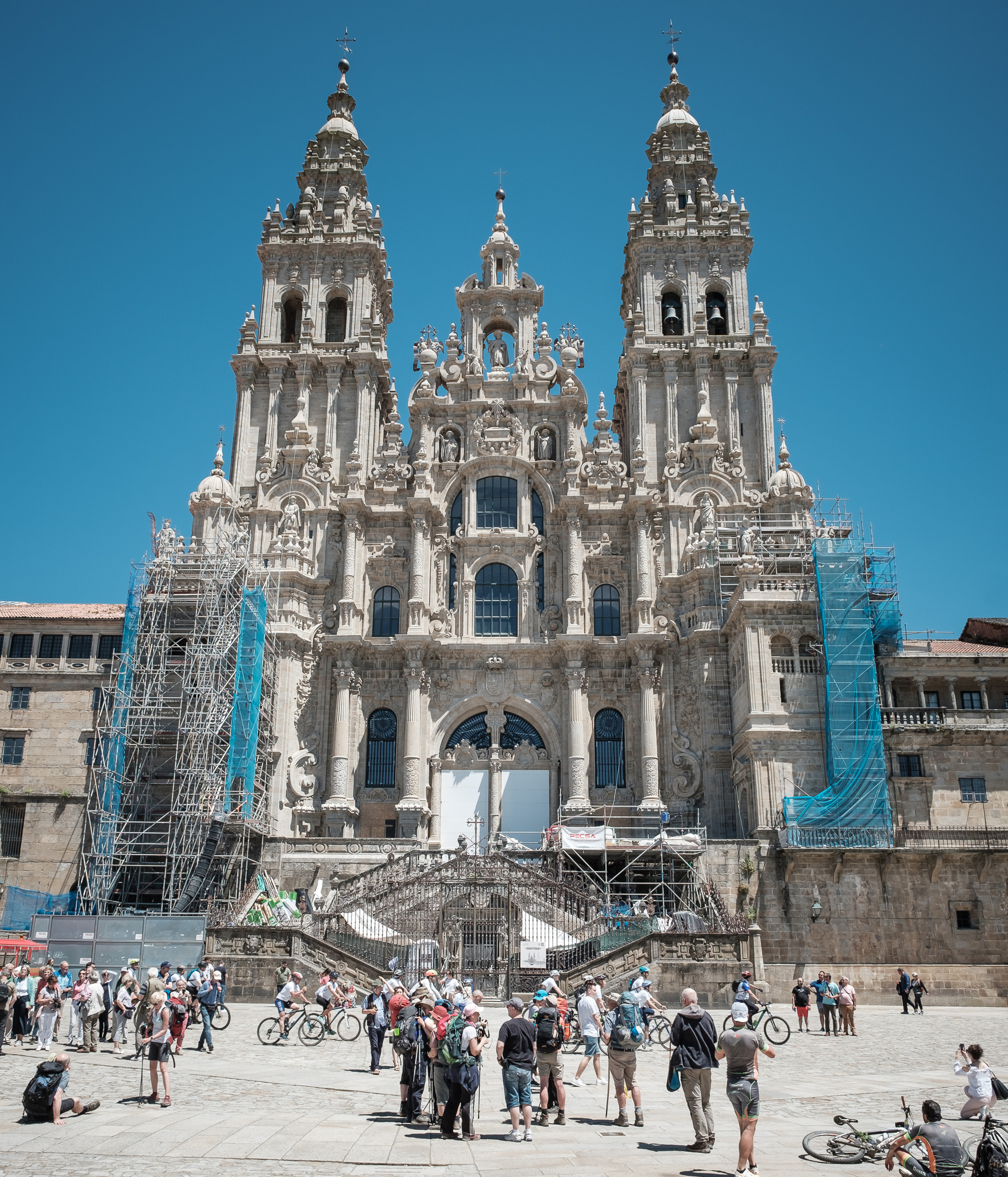
And from here on to Santiago de Compostela, the final destination of the pilgrims on the Way of St James. Throughout my journey, I have come across a number of walkers who have made the pilgrimage on the Way of St James. I pay a visit to the old town of Santiago and to the main destination of the pilgrimage, the cathedral. More and more groups of pilgrims are arriving and celebrating their arrival and the end of their pilgrimage in the square in front of the cathedral.
However, this is not the end of my journey. I stop briefly at A Lanzada, with its long, Caribbean sand beach, before reaching northern Portugal.
Cheers, Thomas
